The second largest of the Windward Islands in the eastern Caribbean, Santa Lucia has an area of 238 square miles and a population of 157,000.
The capital is Castries. A British colony since 1814, Santa Lucia received its independence in 1979 and is a parliamentary democracy.
Primary industries include clothing, tourism and beverages.
The island also produces cocoa, bananas and coconuts.
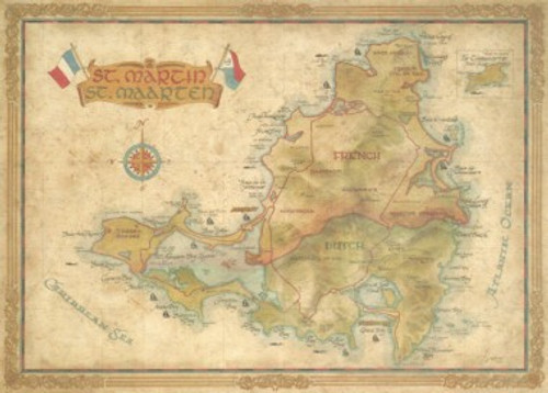
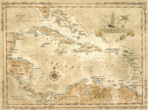
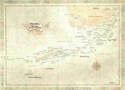
This map measures 23” x 27”.
All of our antique style maps are printed on quality parchment paper and frame beautifully.
We can assure you that they are much more beautiful in person than we are ever able to show.


