Ambergris Cay is the largest of Belize's more than 200 off-shore islands.
The island is a 25 mile long, flat, coral sand island, protected on the east by a living reef that extends 185 miles down the coast of Belize.
Ambergris is the southern most extension of the Yucatan Peninsula, a unique Peninsula of porous limestone.
European contact with Ambergris Cay settlers is documented from 1508. At that time, the area was populated by the Maya.
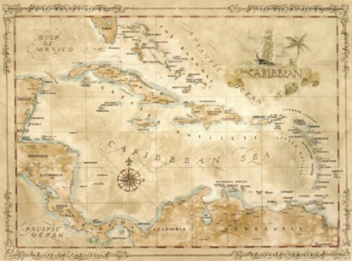
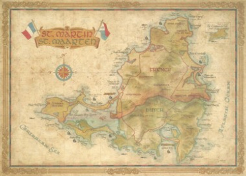
This map measures 20” x 30”.
All of our antique style maps are printed on quality parchment paper and frame beautifully.
We can assure you that they are much more beautiful in person than we are ever able to show.


